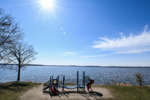
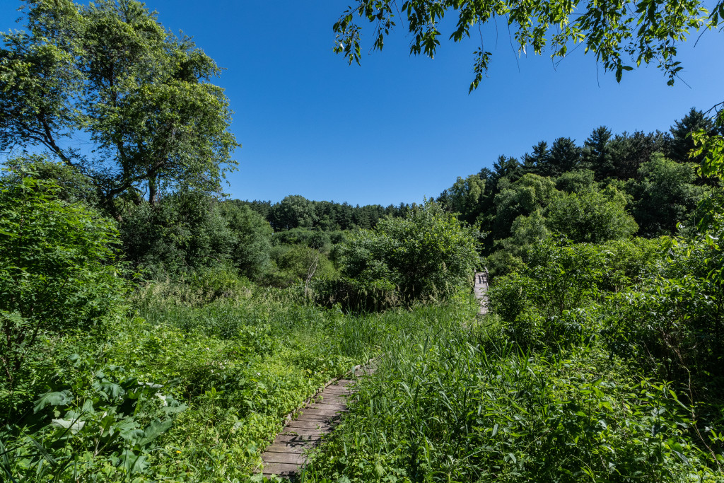
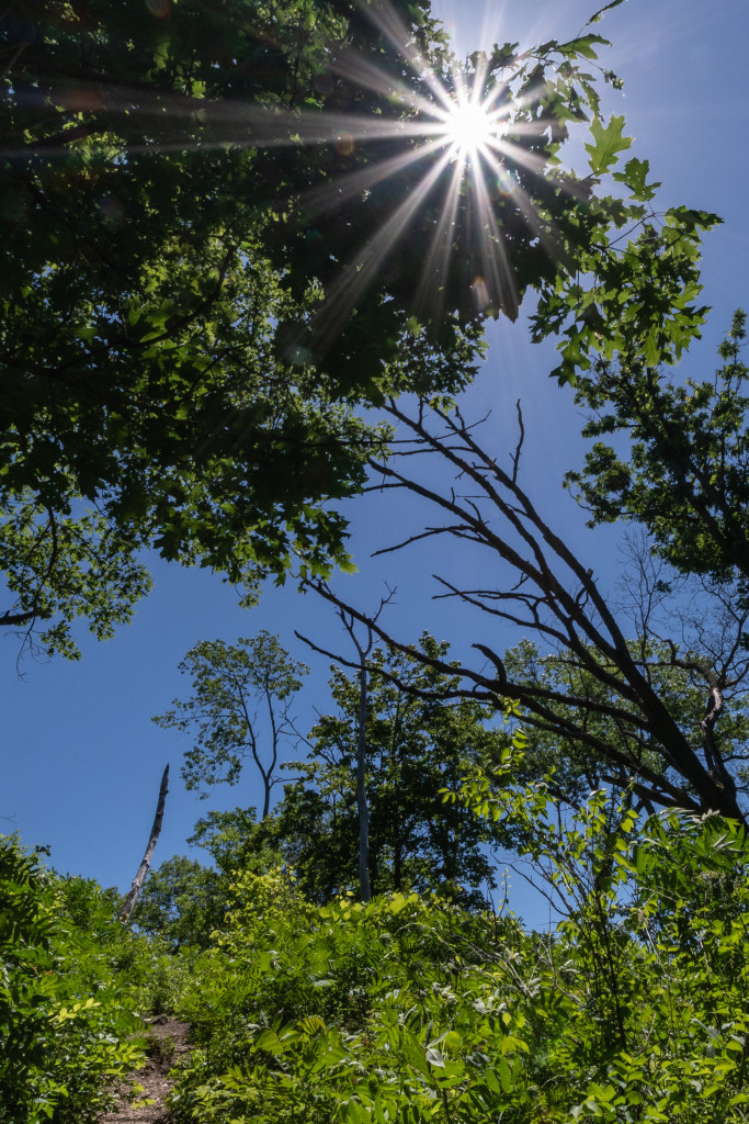
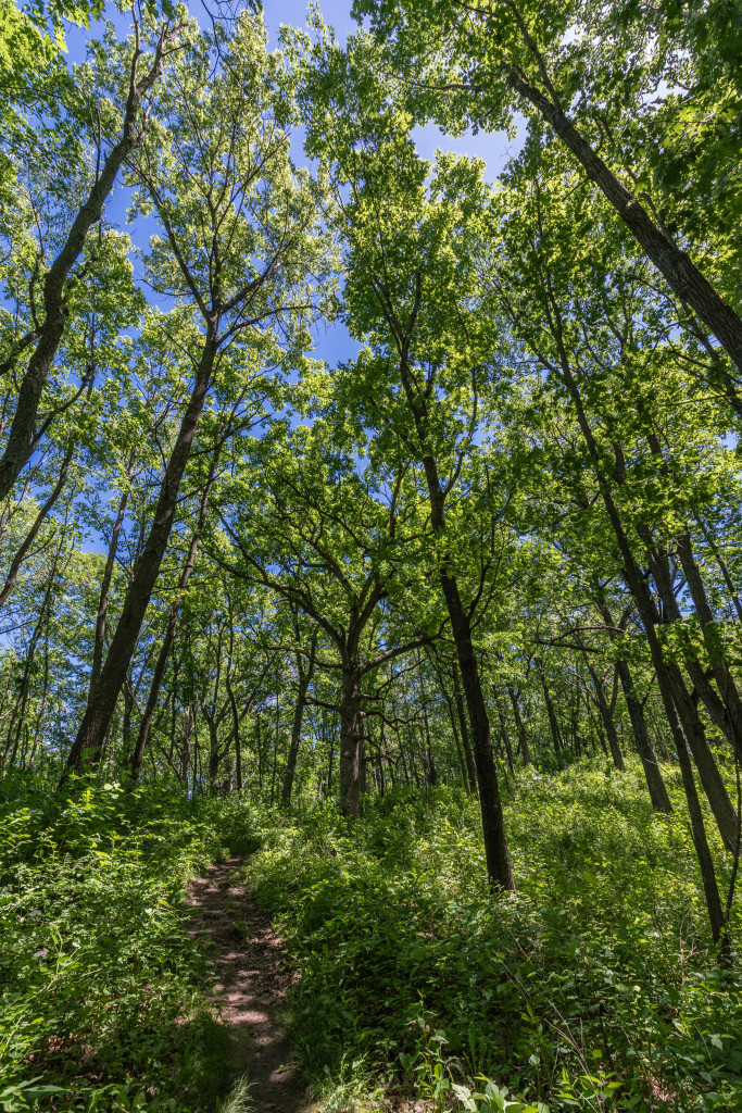
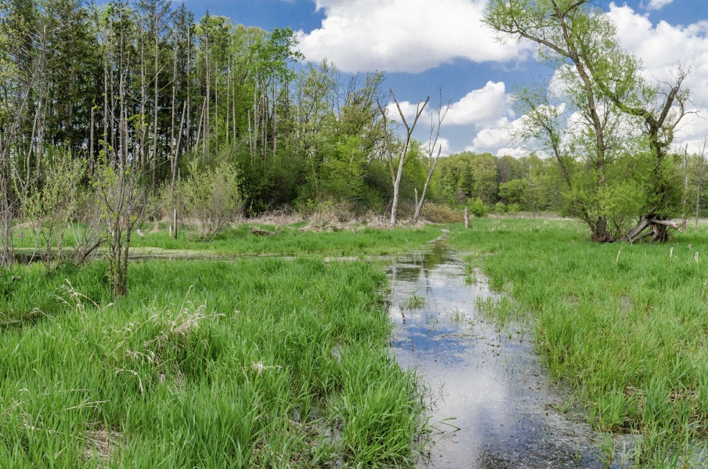
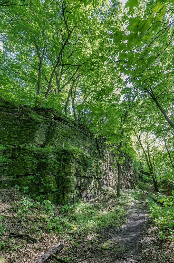
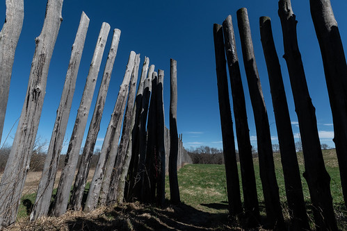
Whenever I get around the sites and artifacts of ancient peoples, I’m conflicted with both wonder and rue. Aztalan State Park encompasses the ruins of a native American culture. Based on the Wikipedia accounts, some of the village’s wooden stockades were still standing when the first white people turn up. Likewise, the mounds and other structures were visible and in place.
Aztalan_3
You can fill in the blanks after that. A few people fought to save what they could. Other people leveled off mounds for farming and carted away the materials there for filling road potholes and the like. Much of the place is preserved and replicated somewhat offsetting the overall loss.

A sense of wonder and mystery pervades the site. The “Princess Burial” is one of the most high profile mysteries at Aztalan. Native Americans still protest that the remains be returned.

School kids visit Aztalan by the busload and people from all over the world with interest in ancient people find their way to the site. It’s a small place; perhaps 20 acres. Aztalan makes for a mystical stroll. Informational kiosks placed along the trails are helpful if somewhat intrusive. And, of course, like all state resources, the site is under constant budget assault.

Posted in Uncategorized | Comments Off on

Tune up hike

To get ready for the hiking season I decided to tune up with a hike around Lake Monona.

Lake Monona

Lake Monona from Madison side.

The bike trail “Lake Loop” is listed at about 11 miles. My hike started at the central campus by the Animal Sciences building, went around the lake, paused at Memorial Union to visit with good friends and then concluded where I started.

An urban walk is certainly different from a walk in the woods. For majority of the time you’re walking on a hard surface be it concrete sidewalks or asphalt streets and bike trails. Instead of woods and meadows, you’re going by houses and businesses. There also are cars, busses, trucks, and many people. It’s all interesting. On the positive side, you can stop at a park and have pizza delivered. Or, you can walk into a coffee shop or restaurant for refreshments. And, if you want out, you can get on a bus or call a cab.

A walk around Lake Monona is a potpourri of city life. Where I got on the loop near Williamson (Willy St.) is an older part of the city. As you go along the lake you see older houses lovingly restored and others not so much. Here and there you see newer houses shoehorned into a few small remaining lots. Mostly it’s early settlement charm. Continue reading

Posted in Uncategorized | Comments Off on Tune up hike

Another 18 miles on the Ice Age

Seven plus hours on the Ice Age National Scenic Trail boiled down to a slice of instants. The hike started on the east side of Delafield and included the Hartland, Merton, and Monches trail segments and their connector routes. I stopped walking on the Waukasha/Washington County Line and met Cory for my return ride at Ox & Cat’s Sports Bar and Grill. Ox & Cat’s make their own pizza.

As for the pictures; there are more than 21 images in the camera, certainly. But several things contribute to the scant number of pictures taken and the subsequent yield. This hike took place December 18 giving me a short daylight window to start with. Since I really wanted to be done hiking before it got completely dark I needed to keep moving. The time available to pause and snap pictures of wonderments was limited by the time and distance involved.
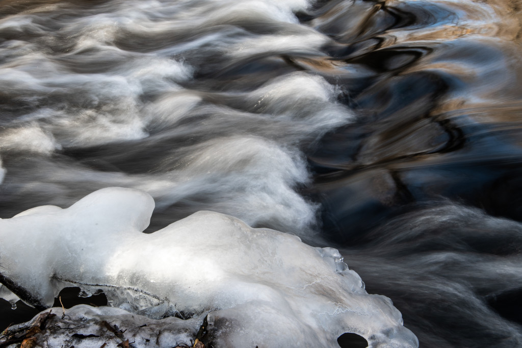
Mellow times walking along Bark River, Hartland

Mellow times walking along Bark River, Hartland

This is also the most suburban hike I’ve done on the Ice Age. From Delafield through Hartland and beyond is settled with homes and businesses taking advantage of the

Naga-Waukee Golf Course

Naga-Waukee Golf Course

remarkable natural settings. At Delafield you start at a golf course. Even the more rural areas reflect people with interests beyond agricultural endeavors. At one point you pop out in front of the Milwaukee Polo Club Grounds. It’s all very cool and interesting but I don’t take a lot of pictures of people’s houses.

Hartland and its trail segment reflect the effort and love of the local Ice Age chapter. It’s a genuinely charming hike to take. Even the connector routes through the suburban neighborhoods are fascinating for a guy who has spent his entire life yearning for the next paycheck. There seem like miles of boardwalks and bridges guiding you over and around streams and wetlands. Following the trail connects you to parks and points of interest. In the Village of Hartland the trail has you duck through an alley where you emerge on the bank of the Bark River which you then follow along.
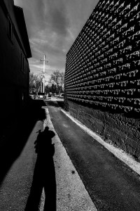
Hartland and the Bark River approach

Hartland and the Bark River approach

There’s serious legwork to do covering the connector on a town road to get to the Merton Segment. The reward was stepping off the street into the woods and walking right up to a herd of deer bedded down in the trees. It was a case of mutual surprise. More legwork follows on The Bugline bike trail where the Ice Age piggybacks the route. It’s also where you walk away from the Bark River and enter the Oconomowoc River Valley.

Human interactions along the trail sometimes get awkward. At a small road crossing a guy stopped his car to talk to me. He was nice but he’d stopped right on the road just over a hill with a blind curve. Of course, a car appeared and had to brake hard as he was telling me he is one of the people maintaining this section of trail. The entire length of the Ice Age Trail is kept up by volunteers like this guy, now parked in the road in front of me. I thanked him for the effort and sincerely, these are well kept trail segments. A second car had to brake for him. “Time for me to go, but your trail is awesome,” I said, taking the moment to start moving.

The world changed at the Monches Segment trailhead. A sense of urgency had begun to creep into the hike as the sun edged lower. I’d fooled around taking pictures back on the Hartland Segment, eaten lunch in a park, and followed a loop trail through a wetland, and earlier I’d walked past a trailhead and into an industrial park where I had to backtrack. Ahead, the Monches Segment is listed at 3.1 miles. On level ground my short, fat legs do three MPH with some ease. But, this is, after all, the Ice Age National Scenic Trail (bitches).
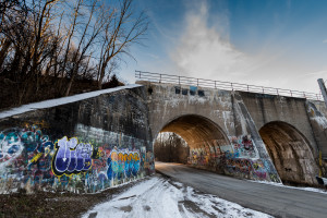
Rail bridge at the Monches Trailhead entering Oconomowoc River Valley

Rail bridge at the Monches Trailhead entering Oconomowoc River Valley

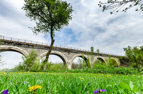
At the trailhead is a double arch, concrete railroad bridge with the river flowing under one arch and the street going under the other. The bridge is heavily tagged with ominous messaging. Shadows seemed to darken and lengthen by the moment so I decided to get on the trail where I bumped into a hiker going the other way. He wanted to chat.

Tim was startled when I answered “Delafield” to his question about where I started. “Yeah, I’m going up to Monches,” I added. “Oh,” he said. “Well, this is a rough trail.” Tim gestured back at where he’d come from and explained it was icy and he’d almost fallen a couple of times. “And it’s steep and gets real narrow and then the river gets real deep,” he continued, and paused, “there’s a little wood bridge.”

Good to know there’s a bridge. “Anyway, Tim, thanks. I better get going, eh?” I said with my goodbye. Tim’s info was mostly correct, including the bridge, but he never mentioned the waterfall.

Thus far in the winter season we’d had some ice-forming cold but I was out walking because the daytime high was peaking at about 45 degrees. Nice walking temperature plus I don’t think feet swell as much hiking on a cold, frozen surface. All day I’d found ice and snow in the deeply shaded and north-facing spots but there wasn’t any snow cover and most of the trail was open.
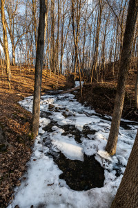
Glacial waterfall

Glacial waterfall

The waterfall came as a jolt. It was glacial, frozen and flowing all at once as it tumbled down the ravine over the boulders and rocks. Water was flowing above and below the ice, swirling around the rocks, gurgling. It took me a minute or two to absorb what I was experiencing. Pictures had to be taken. Pictures take time. The spot already was in deep shade and getting deeper. Time was running out.

Somewhere ahead was steep, narrow, and a wooden bridge. So I snapped a few pictures to document the place, clipped the camera back in place and leaned into the remaining hike. This is a gorgeous three miles. The Oconomowoc River makes it way down the narrow valley producing rapids and eddies flanked by wooded hills and marshes. As you hike north the valley gets narrower and sure enough there is a wooden bridge with its network of boardwalks to get you to the other side. It is the kind of crossing you take one step at a time especially as evening darkness approaches.

There’s some unwritten rule somewhere that the steepest hills always come at the end of the day. After walking for almost seven hours those last couple of hills mean something. I’m not sure what but the challenge is clear.

As you near a trailhead at this time of day the trail runners appear with their dogs. They race by or race past sleek bodies wrapped in the latest running gear. Two damn dogs came out of nowhere and confronted me barking and growling. They broke away and soon their owner came running up the trail. I really wanted to grab a limb and smack the bastard but he had a third dog at his side. Anyway, I thought such thoughts as he went by without a word.
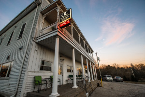
Ox & Cat's Sports Bar and Grill, Monches

Ox & Cat’s Sports Bar and Grill, Monches

Suddenly the trail turned steeply down and through the openings I could make out Monches with its church and the sign for Ox & Cat’s saloon. There were cars parked at the trailhead and I wondered which one belonged to the guy with three dogs. I minded my business, hiked up to the tavern snapped a couple of quick pictures then went in the front door to find Cory.

Everybody was in there waiting for me; the whole bar full of people looking and grinning. “Dad, you’re kindofa legend,” Cory said. “I’ve been telling them about you.” So I say, “Does being a legend get me a free beer and a burger?” We didn’t stay. Cory hauled me back to my car then we went and had dinner at Panga, a trippy little tavern under the interstate between two lakes.
Posted in Uncategorized | Comments Off on Another 18 miles on the Ice Age

Welcome to the Enchanted Forest

Welcome to the Enchanted Forest

Welcome to the Enchanted Forest. Whitewater Lake Segment, Ice Age National Scenic Trail

There’s a patch of hills and woods along Highway 12 south of Whitewater I’ve wondered about for years. The road passes through the area climbing a steep grade with the hills and trees pushed up to the shoulder. To me, the woods looked enchanted and I longed for a chance to get out there.

Fast forward to my dotage and add the Ice Age Trail(IAT), and suddenly the opportunity to hike my personal “Enchanted Forest” is here. It’s called the Whitewater Lake Segment(PDF) and it’s about five miles through the hills and woods. Here’s how the trail guidebook calls it: “…the segment travels across cavernous kettles with ancient oaks providing the canopy.”

Reaching the peak of this terminal moraine with deep mid-day sun

Reaching the peak of this terminal moraine with deep mid-day sun


As I entered from the west I tried to keep years of expectations in check. I’d hiked the connector from Clover Valley and my anticipation kept building as I got closer. But before I could hop off the road and dive into the woods I came across the Flowing Well. Flowing Well happened just at that point when I was thinking how great it’d be to have a rest wayside on this connector route.

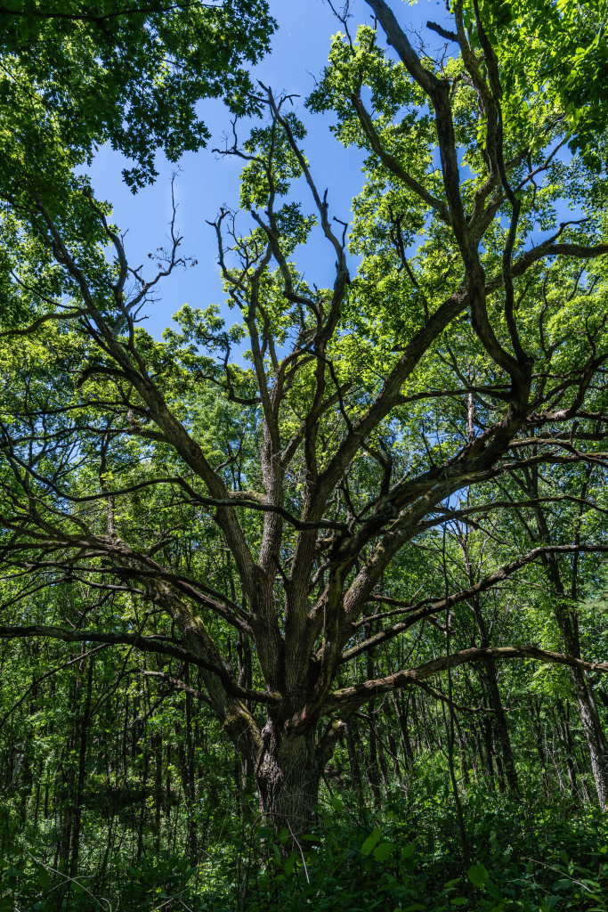
From Flowing Well on, the enchantment was strong: beautiful blue sky, moderate temperatures, a breeze, and then I stepped onto the trail proper. Here, I had to pause. A boardwalk bridge called me to cross a free-flowing stream and head into the woods. In mid-June the woods were well watered and lush. In places, the understory wrapped the narrow trail tunnel-like obscuring the sky. Then suddenly I’d walk out into a towering forest of giant hardwood.

They own the place. Pass with permission only

They own the place. Pass with permission only


Over the next couple of hours I lived in another world: steep climbs, sharp ravines, huge trees both alive and dead, boulders, massive fallen logs. As I neared the end I could hear the highway more and more. Reluctant to leave, I just hung out for a while. I’m a happier guy for this experience. For me, it’s the “Enchanted Forest Segment.”
Old Oak intact in its frame from the past

Old Oak intact in its frame from the past


Shout out to my good friends Bonnie & Dave Wagner. Dave provided the angel lift and I was able to annoy them both during their pickle ball match in Whitewater that afternoon.

Posted in Uncategorized | Comments Off on Welcome to the Enchanted Forest

Sixty four miles

Sixty four miles is the official distance. Filling out the paperwork will make it official, but I now have hiked the entire width of Rock County on the Ice Age Trail(IAT). The county IAT chapter lists the distance as 64 miles. The hike was done in bits and pieces starting last year. Yes, there are some short two and three mile hikes but I also had distances of 18, 12, 10, and 10.

Before going further, I must express my love for Jan who isn’t simply supportive but actually enables this behavior. Farmer and Rock County citizen, Kirk Leach also figures into this as he provided a couple of key angel lifts. Then a shout out to Dennis James and Dean Paynter and the rest of the Rock County IAT. The chapter has been at this a lot longer than I and have helped turn hiking in Rock County into a wonderful experience.

Storrs Lake Segment

Storrs Lake Segment spring 2018


For the curious, the 18-mile hike was roughly Evansville to Janesville. I had an average speed of 2.5 mph and it took me six hours, 45 minutes with a total elevation accumulation of 1,025 feet. The most recent 10-mile hike took four hours, 12 minutes with a 2.6 mph average and total elevation accumulation of 583 feet carrying me from outside Milton into Walworth County to the east.
Devils Stairway Segment

Devils Stairway Segment, Janesville, Wisconsin


Experiences? Yes. Walking thigh deep in water on a flooded section at Storrs Lake is memorable. Especially the muck part. The first time through the Devils Stairway was a thrill; narrow and steep and not much to hang onto. Visiting with a pair of deputy sheriffs on a county road is always adorable. A Mr. Smith who invited me onto his property to show off where an under-glacier river deposited a most wonderful white sand distinct from everything around. And Janesville. Who knew, right? Wonderful parks, a downtown that’s perking up, historical sites like the Croak Brewery, and a network of walking/biking trails as well developed as anywhere.
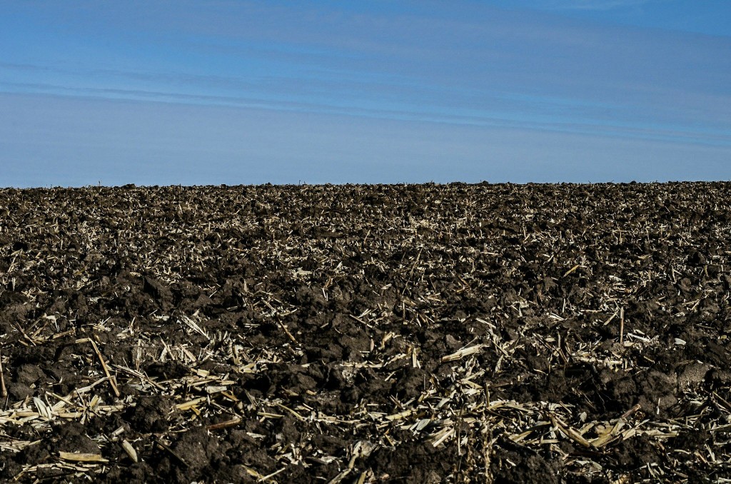
Rock County farmland

Rock County Wisconsin and some of the most gorgeous soil found on earth.


The immediate goal is to make it on the Ice Age Trail past Delafield. There’s the entire Kettle Moraine ahead of me.

Posted in Uncategorized | Comments Off on Sixty four miles

Flowing Well

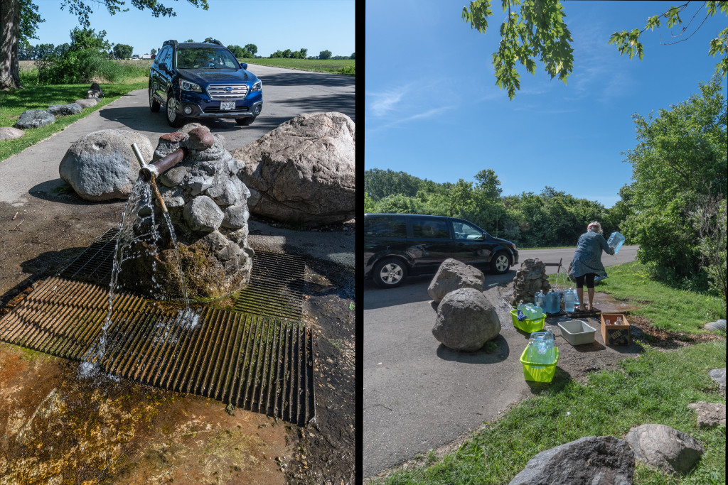
While on a hike the other day, I stumbled into the “Flowing Well” along a town road south of Whitewater. Maybe I didn’t know anything about it but apparently every one else does. It was busy with people filling jugs to take home. The ladies filling jugs that day were regulars. One told me she goes to the well every Wednesday. She used to go on Sundays. Then I heard the rest of her life story. By and by she told me, “My doctor says getting this well water is the best thing I can do for myself.” Another lady was there with her grandson and said her house water, “… had too much chlorine and stuff in it.”

well

Flowing Well is a busy place

The Flowing Well is an artesian water source dug first in 1895 to a depth of 55 feet by an Adam Channing. As the sign also says, “It has been flowing steadily to this day.” There’s a small paved pull out for parking, a shelter, benches and a picnic table. The water gushes out and splashes onto a concrete pad before running down the hill and into a stream. Maintenance is done by the township and civic organizations.

You can look this all up if you want. As I mentioned, I was the only one who didn’t know about it. The well is a tourist attraction in its own way and a really welcome spot along the Ice Age Trail.

Posted in Uncategorized | Comments Off on Flowing Well

Another Flickr Explore

Over on the photo sharing site Flickr, my photo of Tiffany Bridge is having a viral moment. Woke up this morning to what Flickr calls “Explore.” The Tiffany Bridge picture will have 4,500+ views and perhaps more before it’s over. Tiffany started the morning at 129 but has slipped as of now to about 145 on the ranking site, Fluidr.

The picture isn’t all that great, really. It would never muster much of a score if judged in competition. Flickr Explore, however, isn’t like that. Explore is a machine; an algorithm. Based on what is known about Explore, the algorithm is set up to uncover what they call “interestingness.” It needn’t be a great picture, it just has to tickle the algorithm in a way that causes it to pull a picture out of the upload stream and stick it in the daily Explore feature page. The machine picks out 500 pictures every day.

In defense of Explore photo quality, my thinking is many of the top images would do just fine in a competition judged by humans. But, it’s a machine in search of something interesting not strictly its technical or artistic merits.

The first time Explore happened to me it was startling. I kept thinking, “what on earth is going on?” Explore has happened a few times since then and the experience still has a little jolt. What this means to me is that it’s fun when it happens, the recognition is still cool, but you can’t plan for it or take it too seriously.
Tiffany Bridge

Posted in Uncategorized | Comments Off on Another Flickr Explore

Inside advertisement

Once in awhile you get a result you can feel good about:

The page

Posted in Uncategorized | Comments Off on Inside advertisement

August

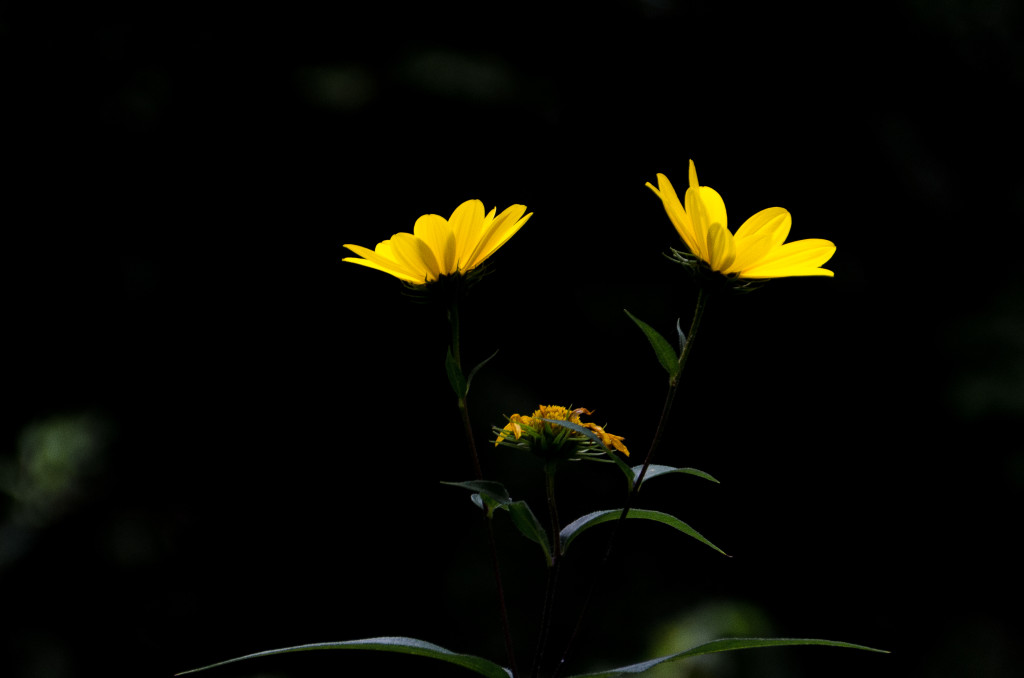
Found in the Nordic Trail section of the Southern Unit Kettle Moraine State Forest, Wisconsin. A few minutes later I was in a downpour.

1.6 mile, Nordic Trail, purple loop, Southern Unit Kettle Moraine State Forest, Wisconsin.
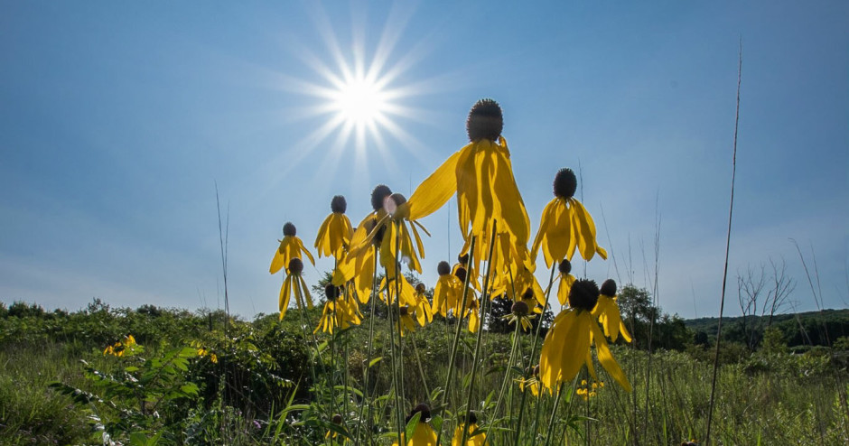
August sunflower

Posted in Uncategorized | Comments Off on August

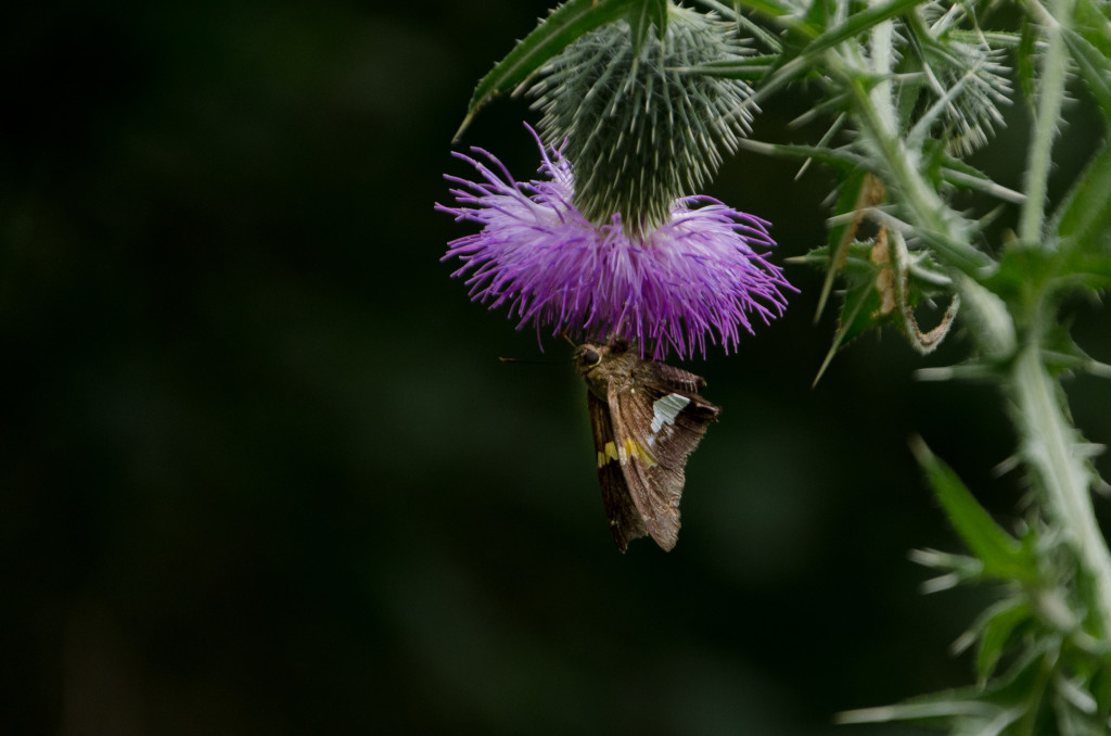
Silver-Spotted Skipper

It was still, humid, and about to rain. Quiet, too. Only little things to look at.
Silver-Spotted Skipper

Posted in Uncategorized | Comments Off on Silver-Spotted Skipper